“`html
The AlphaEarth model, developed by Google DeepMind, is set to revolutionize global mapping as it integrates innovative AI techniques with extensive Earth observation data. This powerful model generates a unified representation of our planet in unprecedented detail, promising to enhance the accuracy and efficiency of environmental monitoring and resource management. Recent findings indicate that this model not only contributes to climate research but also facilitates strategic urban planning and disaster response efforts. For example, the data from the AlphaEarth model can significantly improve predictions concerning climate impacts, making it essential for various stakeholders including city planners and environmental scientists. More about its capabilities can be explored in detail through sources like Google DeepMind’s blog on AlphaEarth Foundations.
Advancements in Mapping Technologies
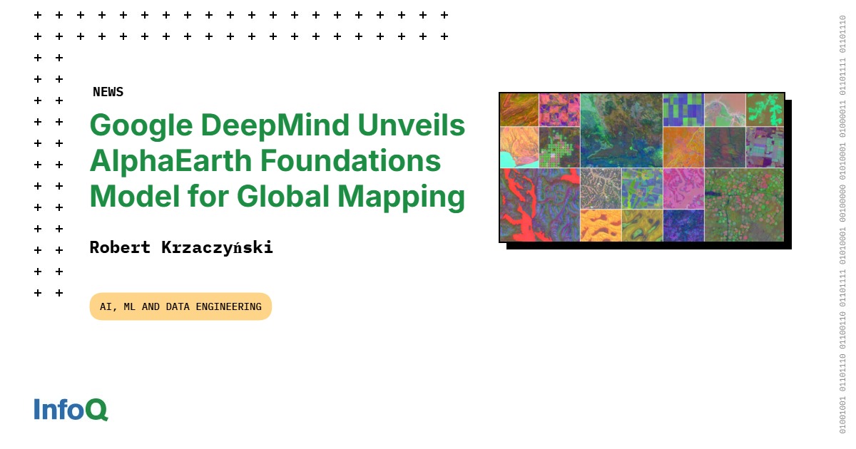
The AlphaEarth model represents a significant advancement in mapping technologies, utilizing deep learning to process vast arrays of geospatial data. It leverages embeddings to create highly detailed maps that are accurate to a global scale. This model integrates various forms of data—such as satellite imagery, geographic information systems (GIS), and environmental sensors—to present a comprehensive view of Earth’s features. Notably, AlphaEarth surpasses previous mapping models by achieving higher accuracy rates and providing timely insights for critical decision-making. As stated by Christopher Brown, a research engineer at Google DeepMind, the model also “maps the world at any place and time.” These advancements can be further understood by referring to related articles such as this publication from Nature.
Applications of AlphaEarth Model in Environmental Monitoring
The implementation of the AlphaEarth model in environmental monitoring tasks showcases its versatility. It generates real-time data that can be used in conjunction with climate models to predict weather patterns, track deforestation, or monitor natural disasters. This capability not only enhances research accuracy but also aids in formulating timely responses to environmental threats. As the world grapples with climate change, tools like AlphaEarth become indispensable for activists and policymakers alike. For additional insights, you can explore the findings on Google Earth’s Medium blog which discusses the implications of AI in environmental data generation.
📊 Key Information on AlphaEarth
- Critical Integration: Combining multiple data sources allows for unprecedented mapping accuracy.
- Global Impact: Improves disaster response and urban planning strategies.
Key Takeaways and Final Thoughts
In summary, the AlphaEarth model by Google DeepMind is transforming how we understand and monitor our planet. Its ability to deliver high-quality, real-time insights is critical for tackling global challenges such as climate change and urbanization. By leveraging advanced AI technologies, this model not only enhances existing data but also empowers users to make informed decisions that can have a lasting impact. For a deeper dive into its potential, refer to the latest updates on AlphaEarth Foundations.
❓ Frequently Asked Questions
What is the AlphaEarth model?
The AlphaEarth model is an AI-powered tool developed by Google DeepMind that enhances mapping capabilities through integrating vast datasets, aiming to improve environmental monitoring and resource management.
How does it benefit environmental policies?
The model aids in formulating effective environmental strategies by providing real-time data and analytical insights, which are crucial for informed decision-making on climate change and land-use planning.
To deepen this topic, check our detailed analyses on Apps & Software section
“`